
 Leeds
Leeds Doncaster
 Sheffield
 Bradford
 Hull
Hull Halifax
 Sunderland
 Newcastle
 Middlesborough
 Yorkshire Moors
 Teesside
 Cumbria
 Harrogate
 Teesdale
 York
York Yorkshire Dales
 Northumberland
 Goole
Goole Carlisle
 Keswick
 Kendal
 Barrow-in-Furness
 Lancaster
 Blackpool
 Morecambe
 Southport
 Liverpool
 Wigan
Wigan Manchester
 Blackburn
 Burnley
 Forest of Bowland
 Oldham
 Chester
 Stockport
 Peak District
 Skipton
 Crewe
Crewe Rotherham
 Stoke
Stoke Driffield


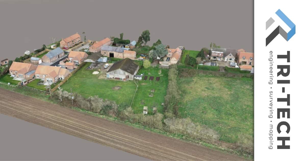
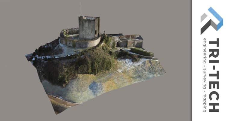
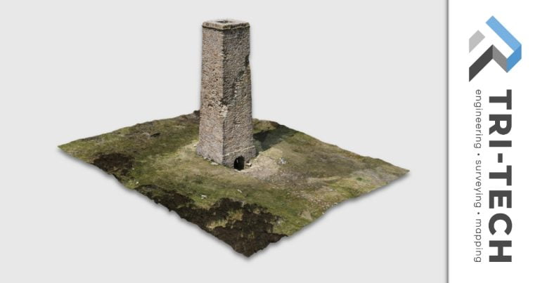
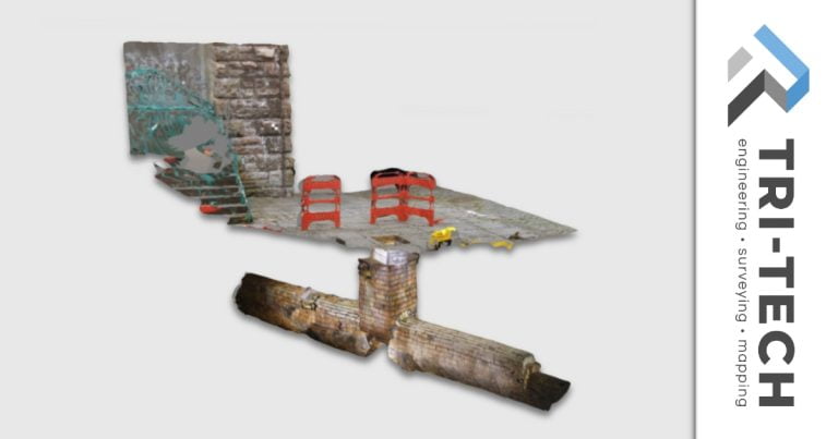
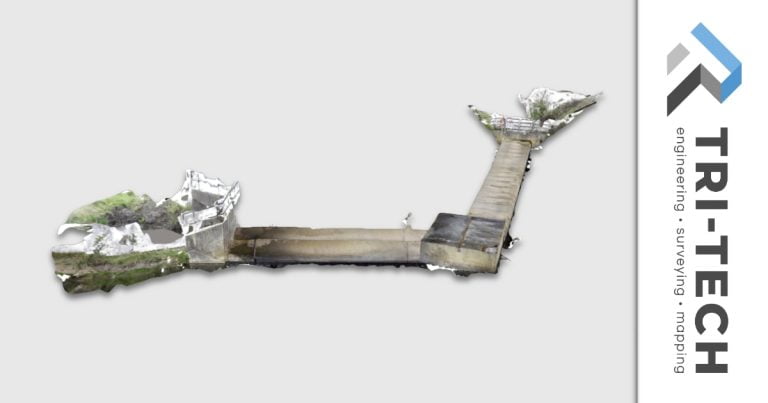
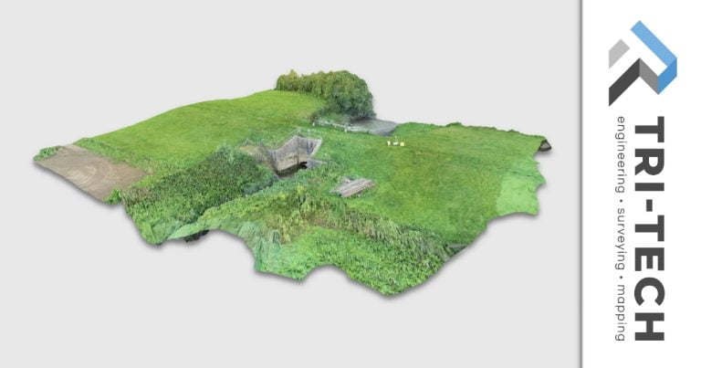
This drone photogrammetry survey was carried out using a DJI M300 drone for a long standing client.
The survey compliments a measured building and topographical survey to highlight features not seen from ground level. This enables a broader overview of the specific building alongside neighbouring features, and also provides the ability to easily revisit the site.
This is a typical photogrammetry survey available within the package delivered to a client. Simply get in touch if you would like more information.